Living on the lighthouses was sort of like that TV show, ‘Round the Twist’ in more ways than you think!
Forty South Tasmania
When I finished my 3-day Three Capes Track hiking experience earlier this year I realised after pitching to many publications that I probably needed to tell this story in the land it was set. So the lovely people at Forty South Magazine, a magazine I have long admired and read, took me up on my offer of tourism travel blog with a side of memoir. Enjoy 🙂
Mt Cooke Summit Hike WA – an out and back hike in winter to enjoy the Western Australian bush at it’s finest.
A Sunday morning in June, we woke before daylight to the intrusion of an ugent alarm. Setting off as dawn showed her sleepy face. The roads were quiet and mist lay low over the highway – parting as we approached. Currowongs littered the road side foraging for early morning roadside snacks – I have never seen so many before.
We needed maps to find the entrance to the hike off the Albany Highway about 50 minutes from Perth. No sign posts, just a sandy track through plantation pines and scrubland.
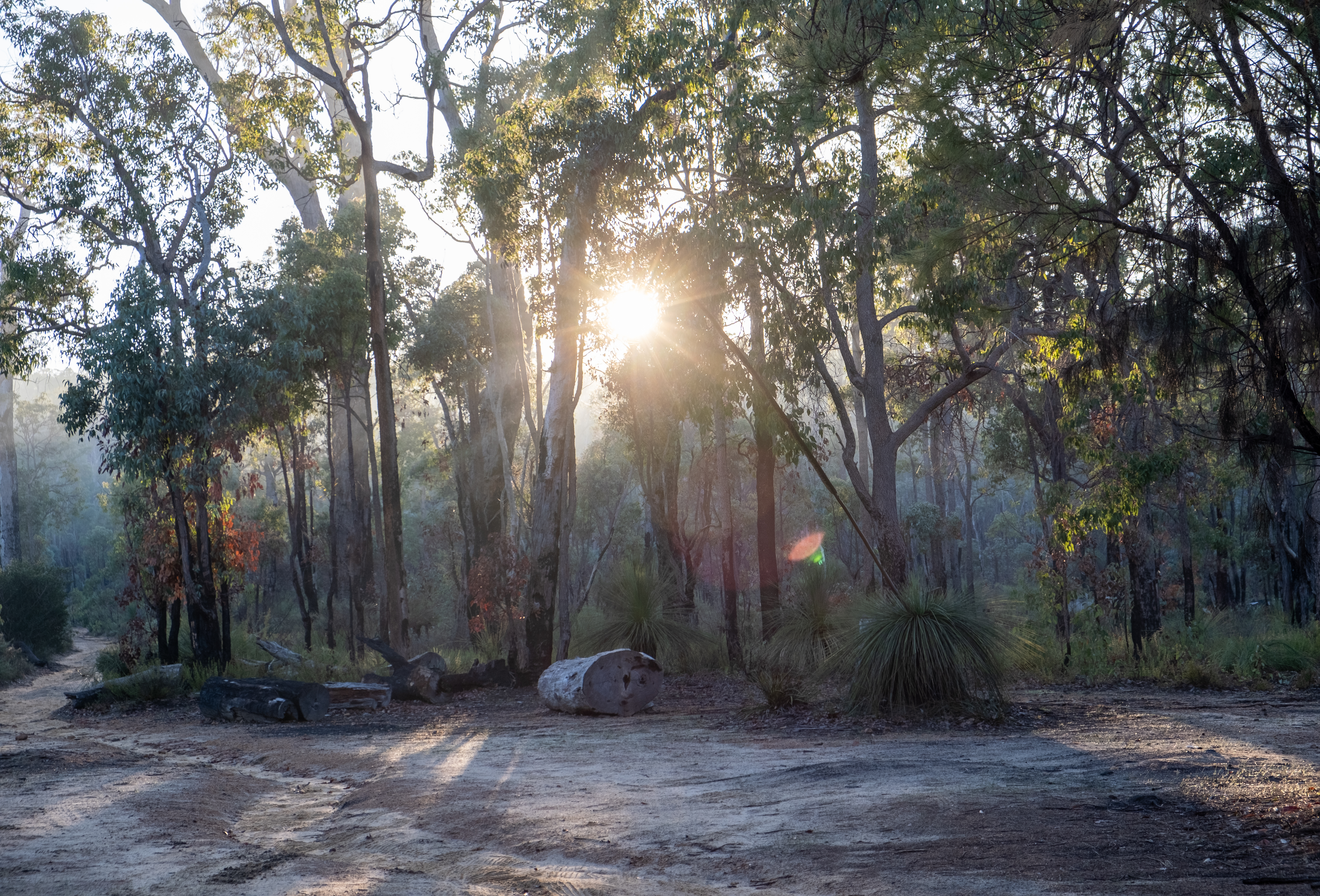
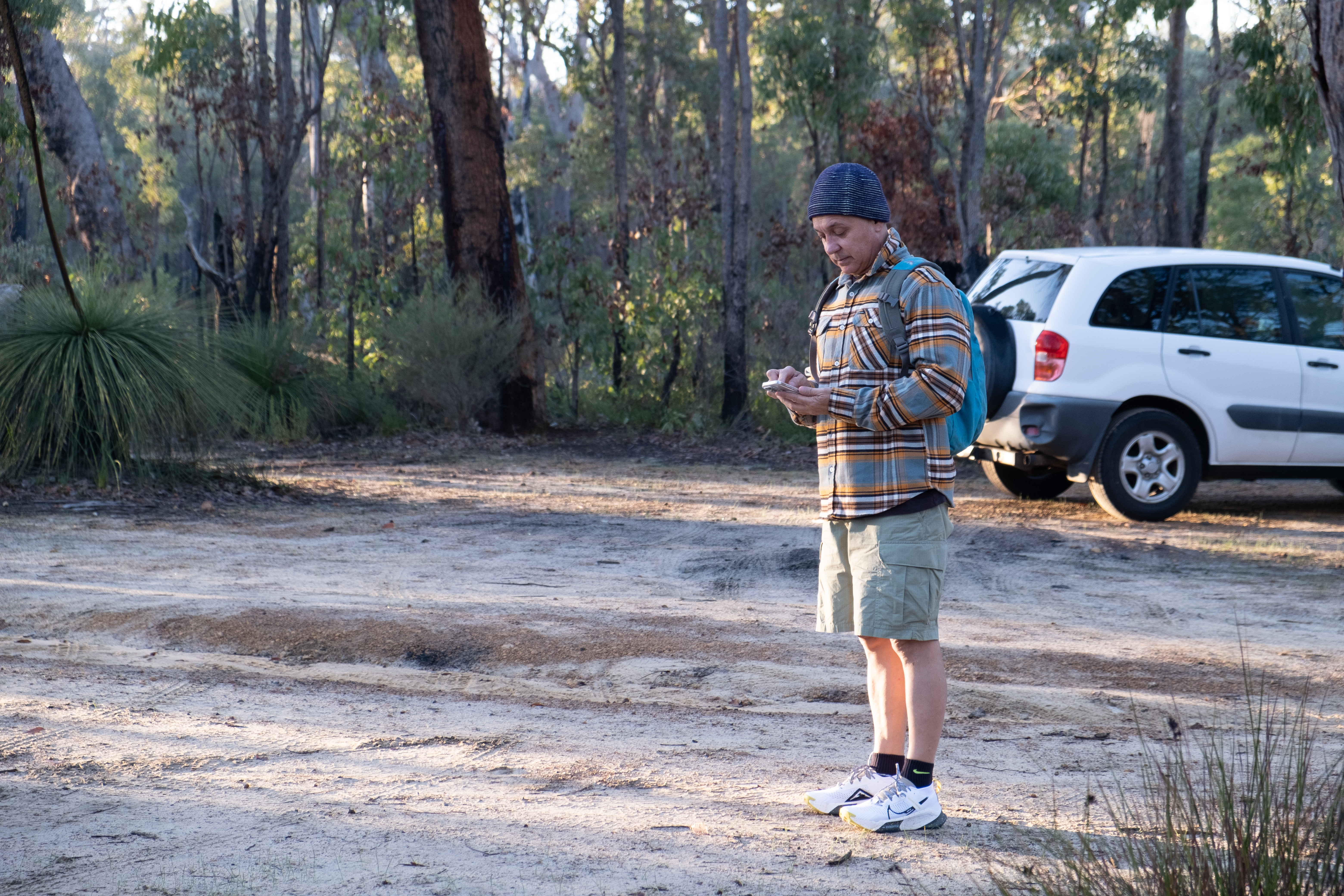
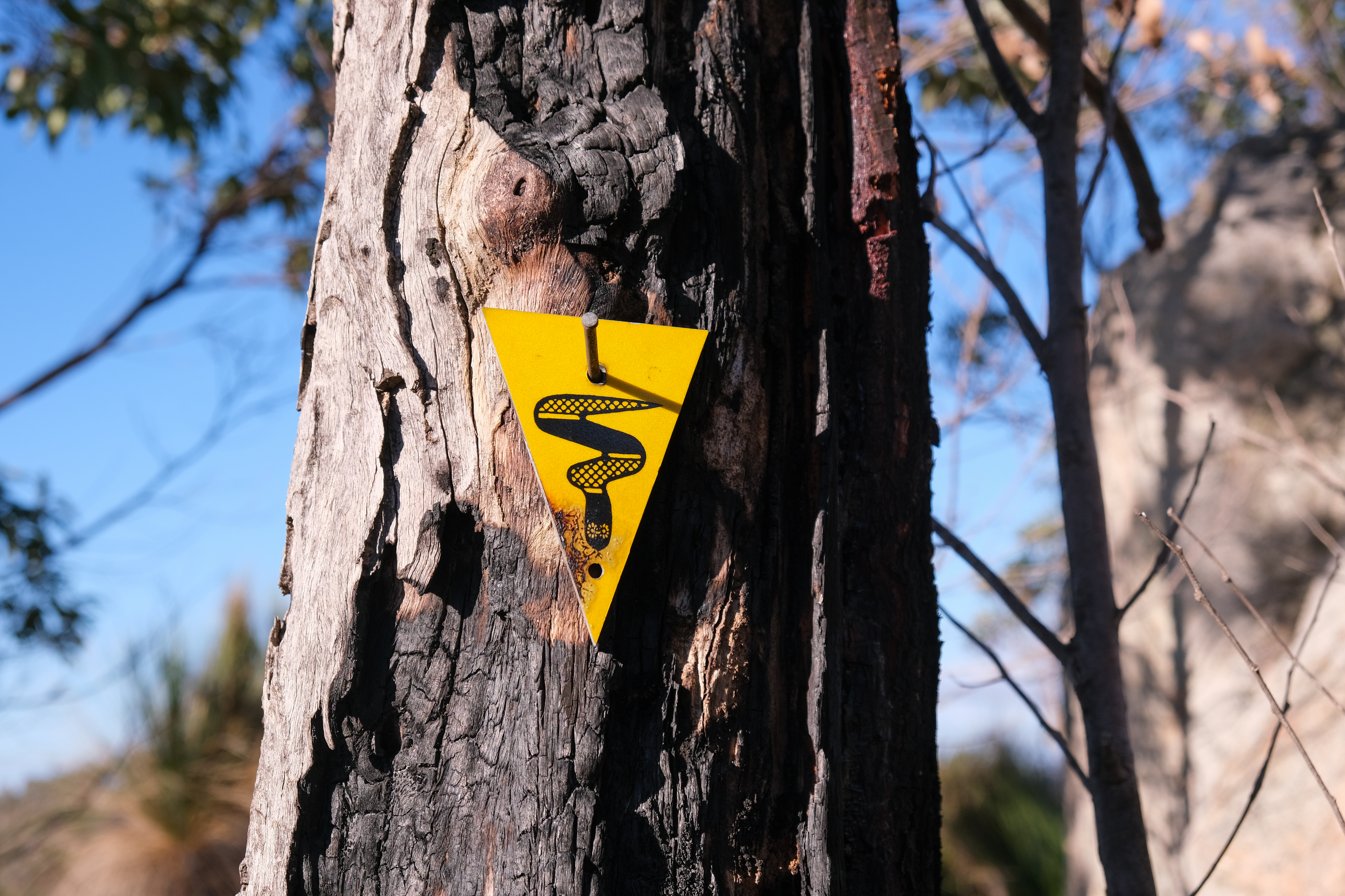
Cars in a row marked the beginning of the hike. A quick check of the AllTrails app confirmed we were indeed in the right spot. The sun peeked through the trees and I knew we were in for a treat!
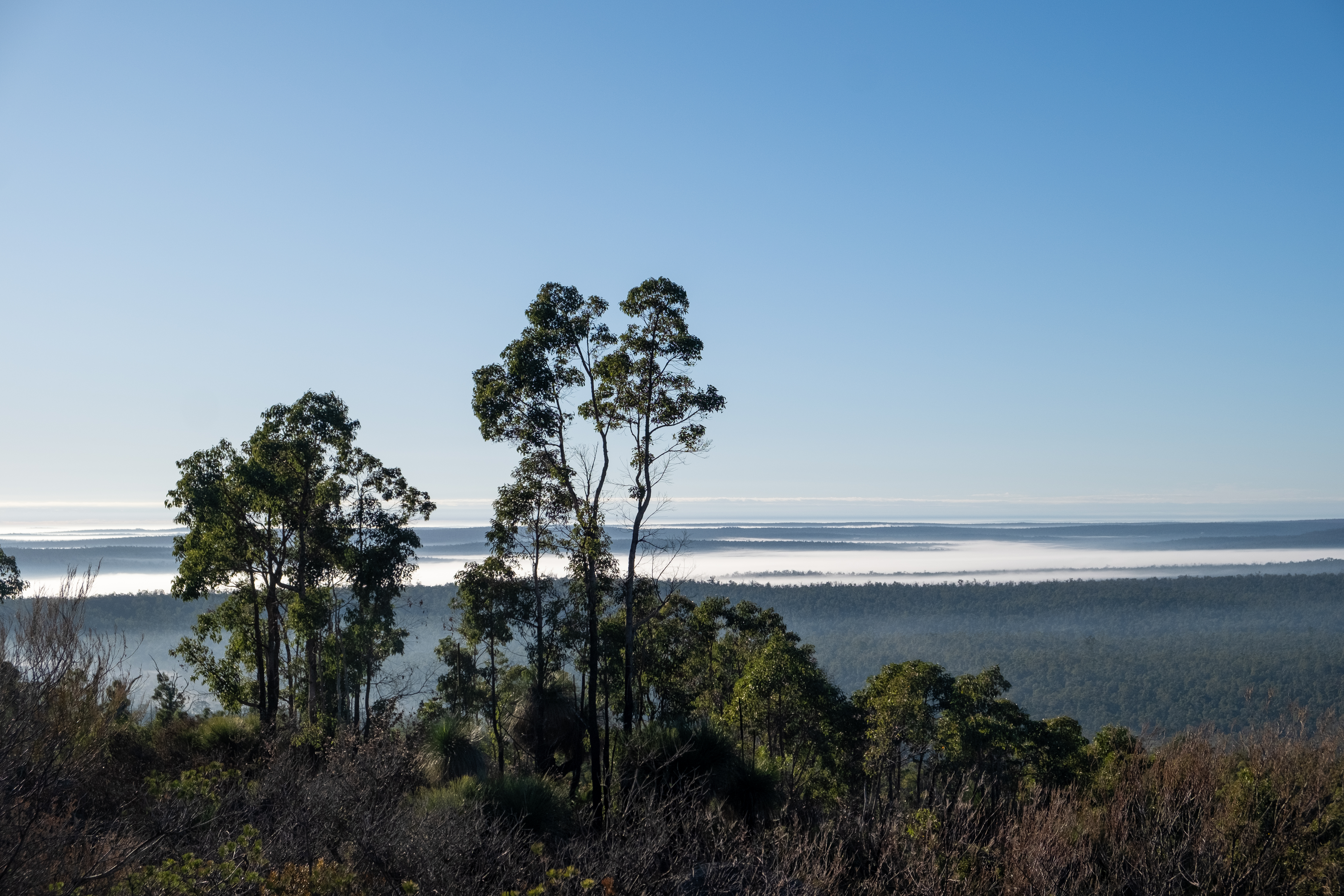
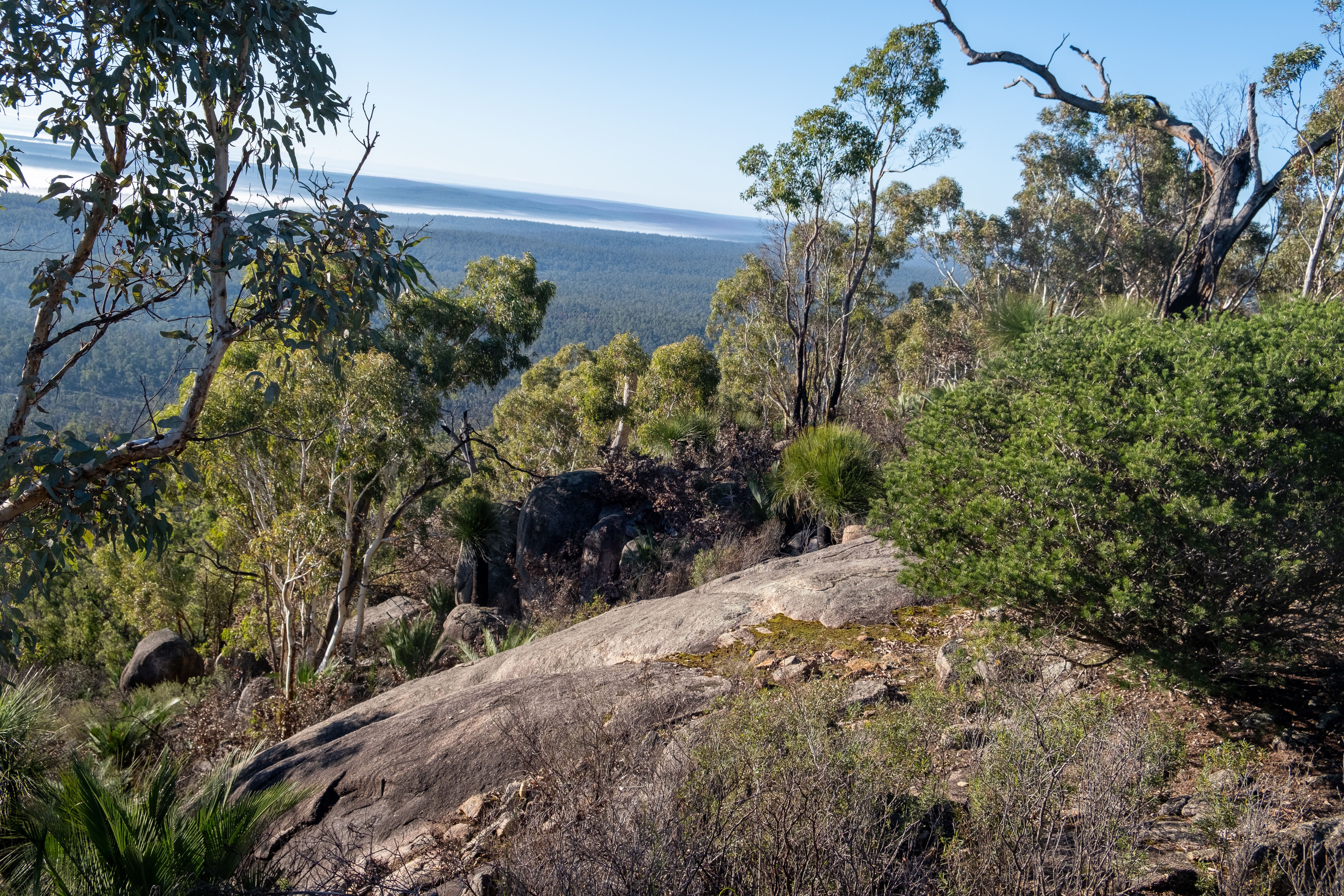
The hike started gently with a narrow trail, damp with last night’s dew and covered in boot prints meandering through grass trees, jarrah and rocky outcrops. The climb to the ridge was steep and sometimes slippery. Rocks glistened in the morning sun with water and sodden moss – green and lush.
The bush in this part of the scarp seems to have suffered less from the recent drought than bushland in Kalamunda. Some sapling had died back in the understory but the mature plants appear unscathed.
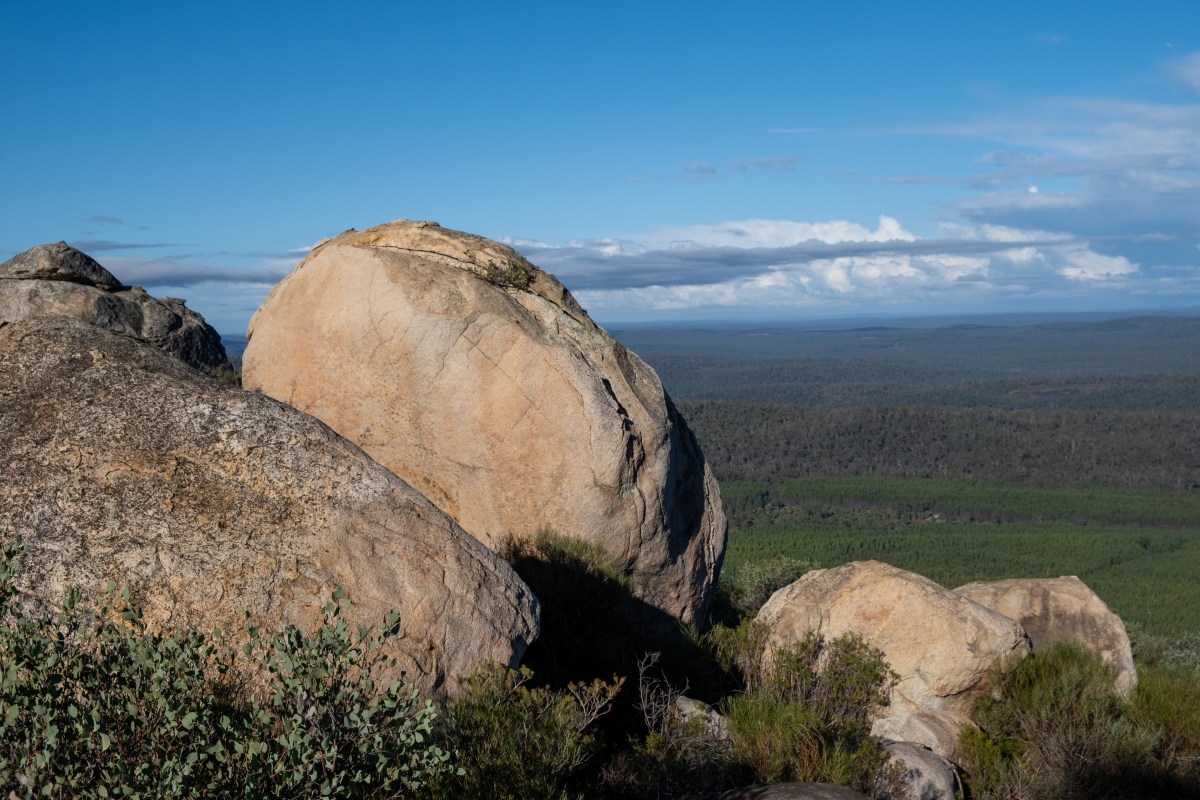
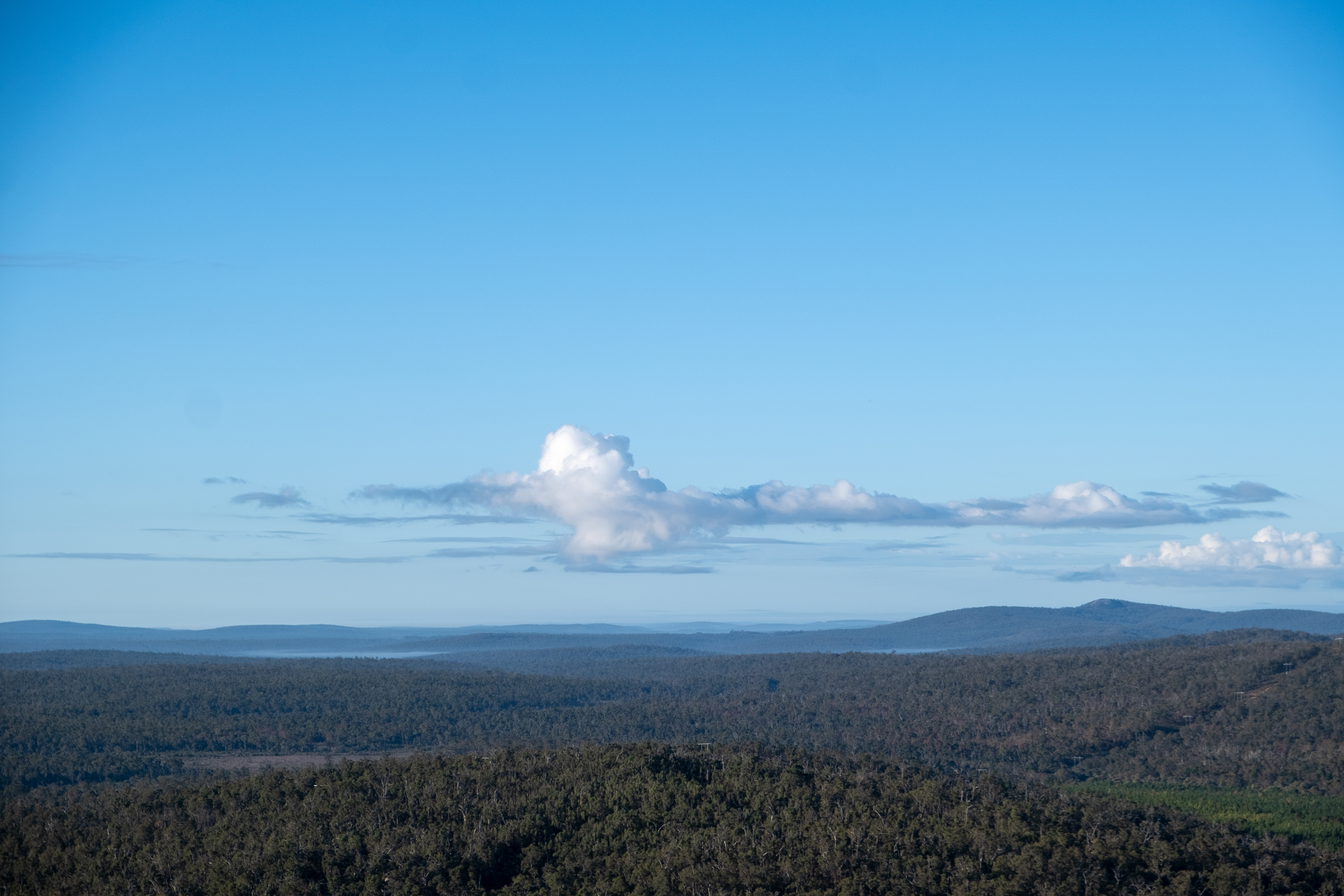
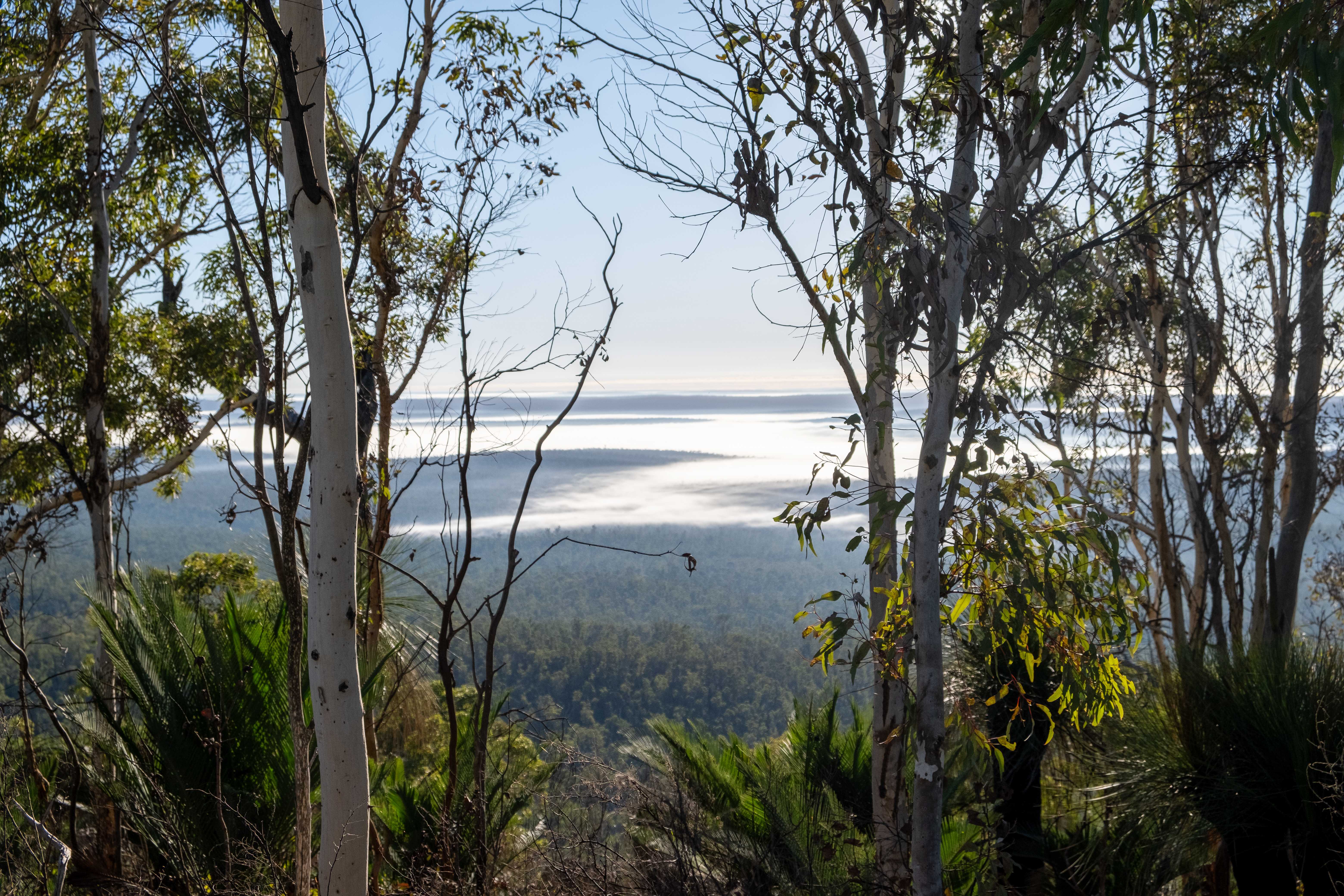
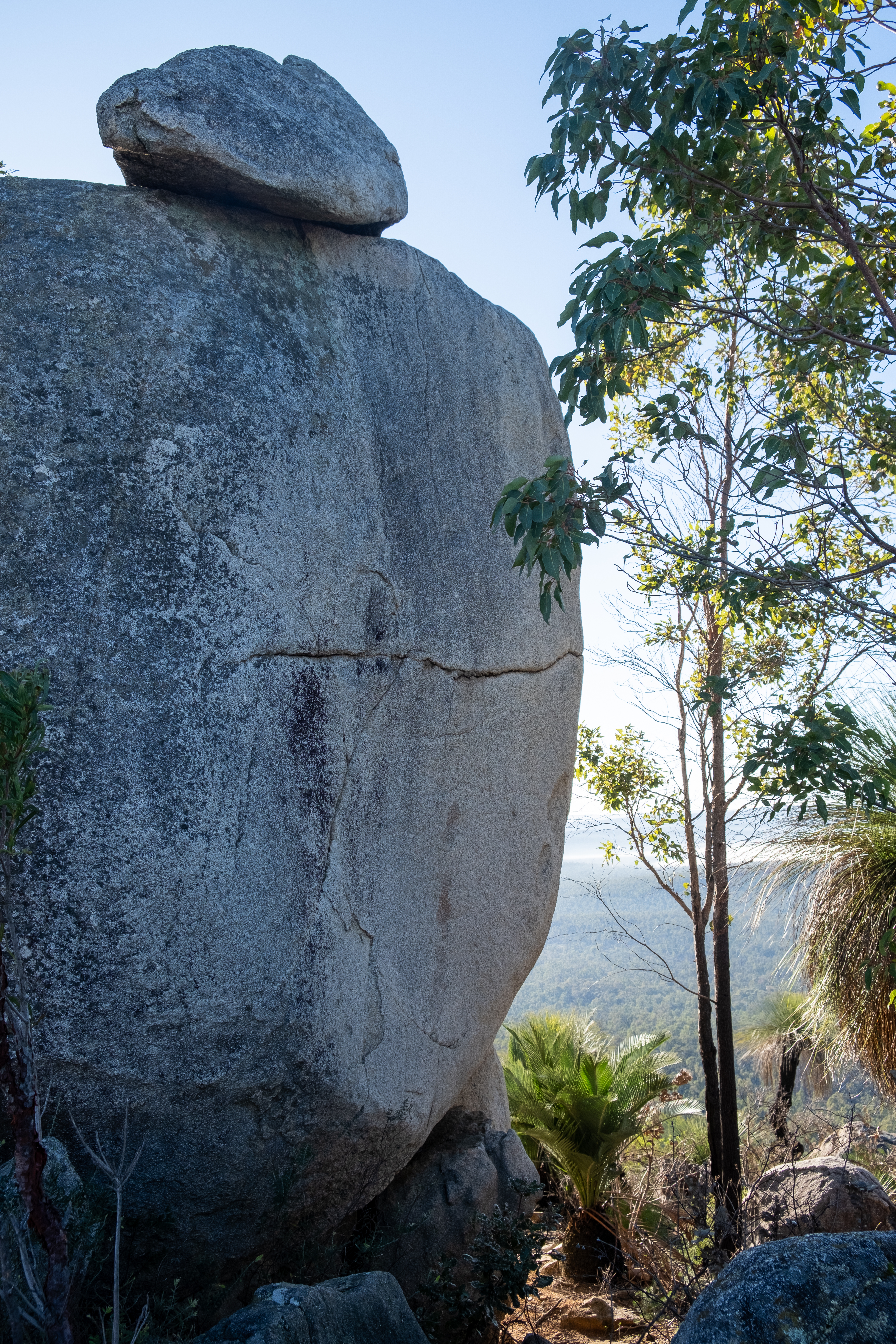
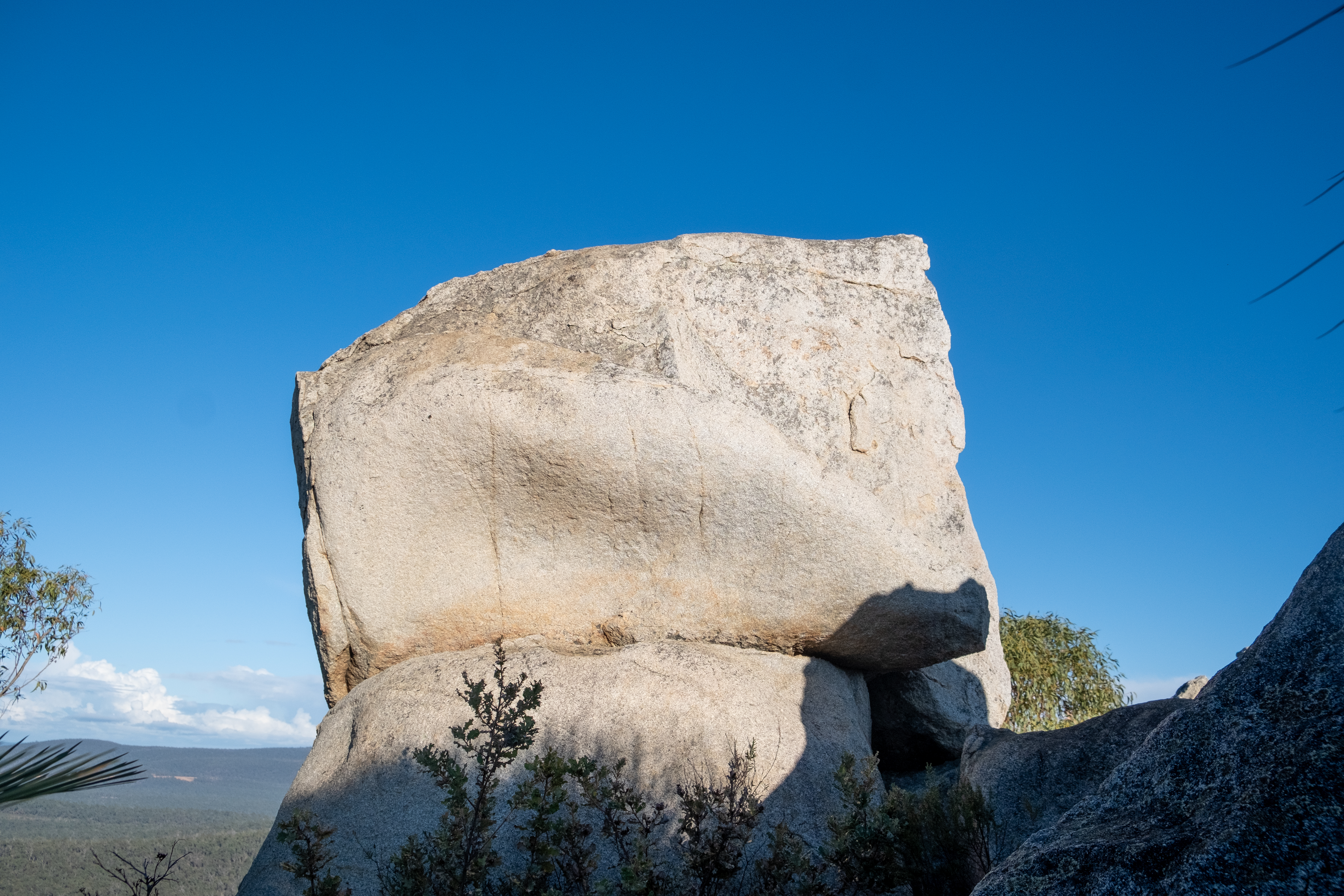
The trail led across the ridge where 360 degree views of the forest and surrounding lands took our breaths away. When we reached the summit a low mist was still hanging over treetops – we felt like we in the clouds.
The summit to Mt Cooke, the highest point on the Darling Scarp, is marked by a pile of rocks. A skull shaped boulder greeted us as we turned the corner. 582 metres above sea level. We continued on for another 5oo metres finding a clearing for a rest and a drink.
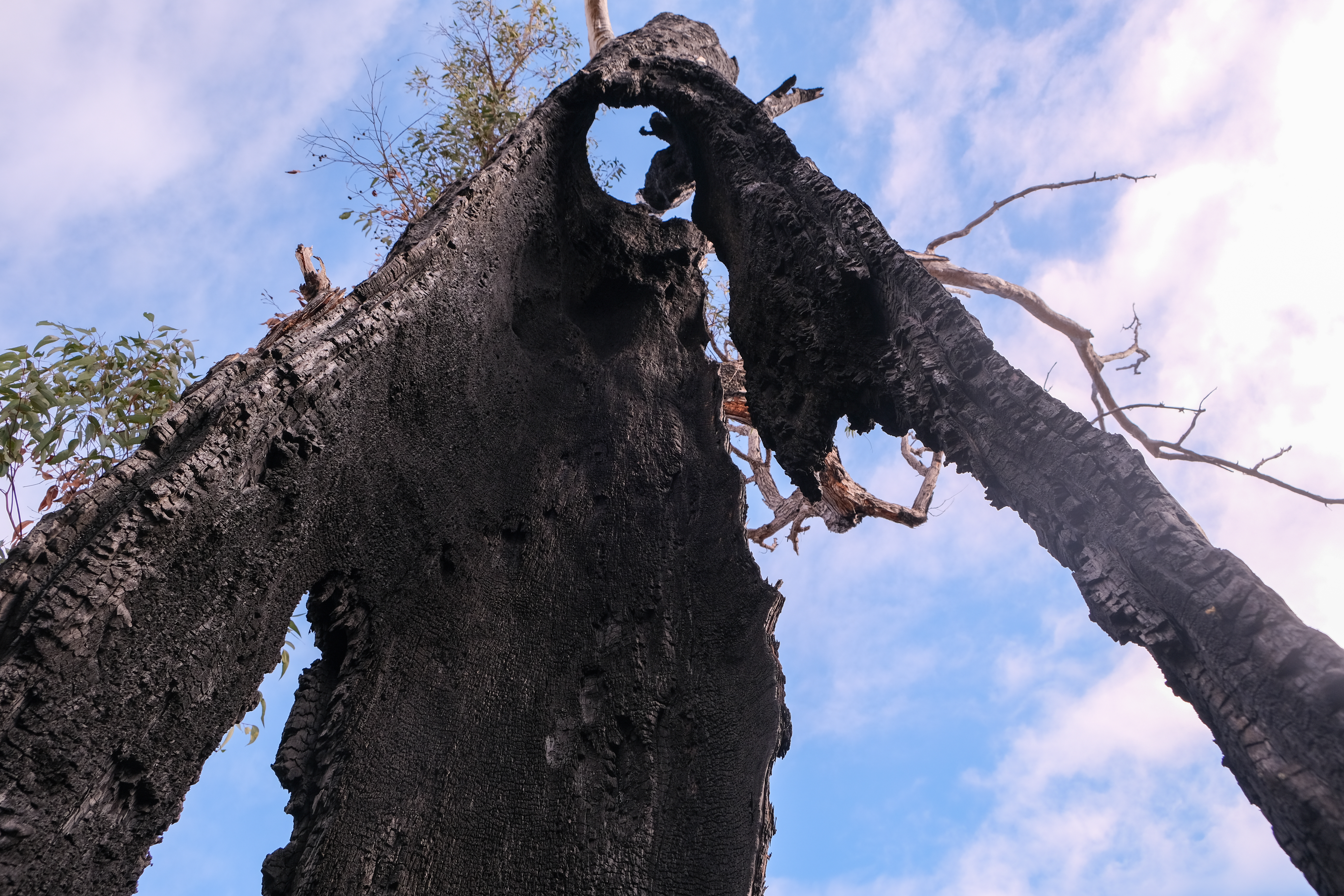
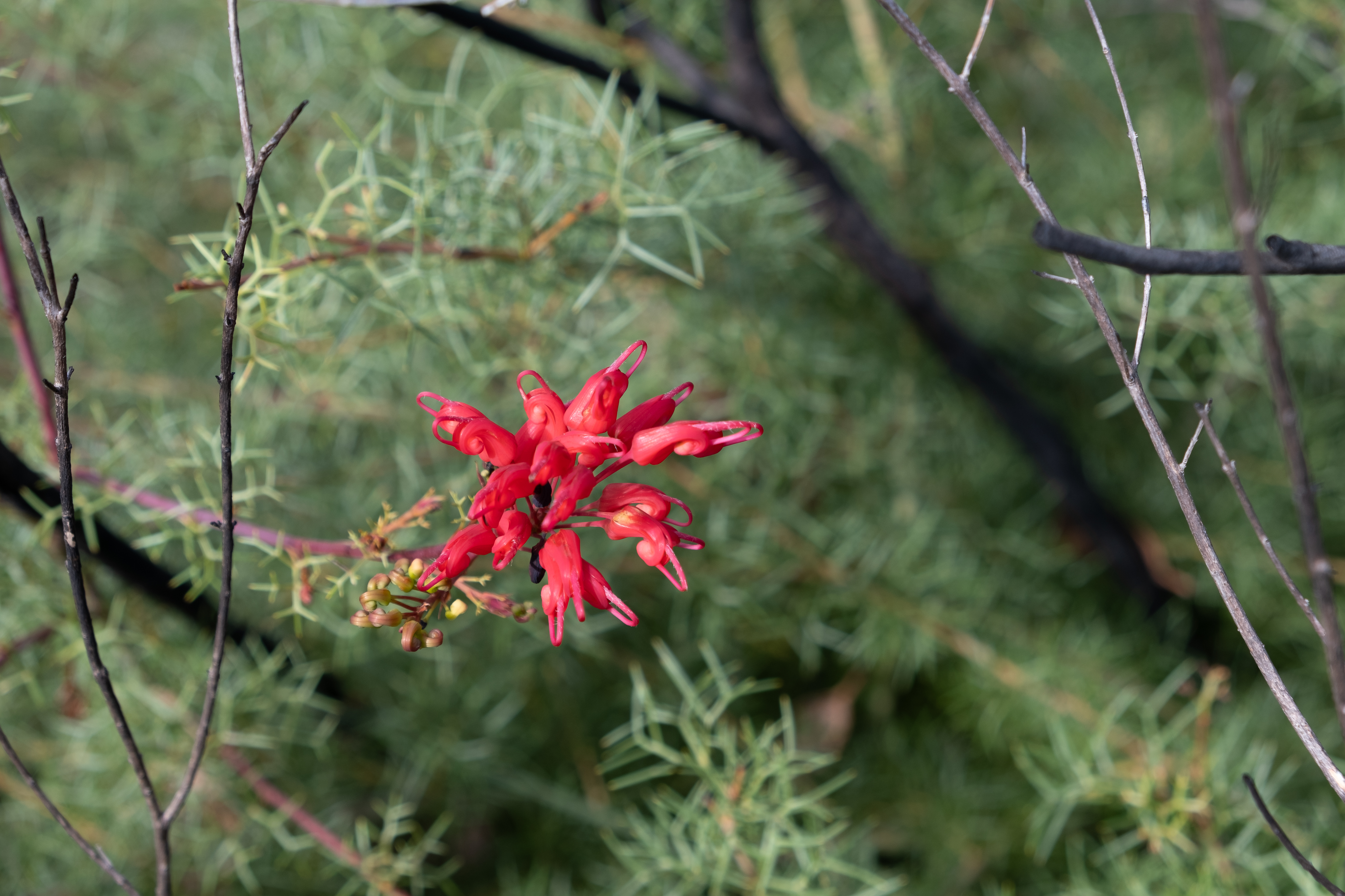
Some of the biggest Xanthorrhoea grass trees I have ever seen, towered over us. Their trunks blackened by a recent fire. The river beds were dry aside from some small pools of shallow water from recent rain. Enough to keep wild life sated.
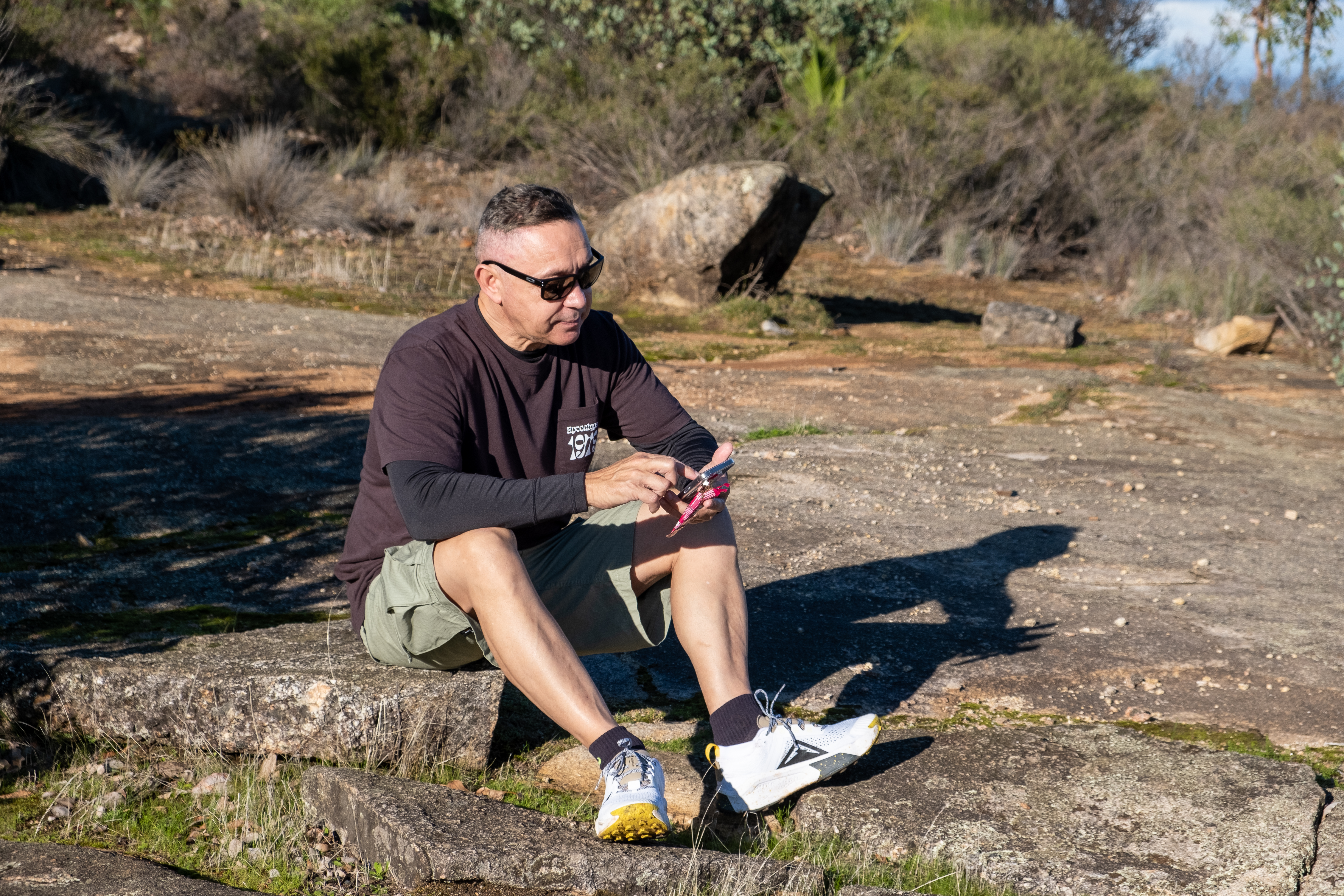
The sun warmed us as the clouds and mist lifted slowly revealing the lands and trees below. We really had chosen the perfect time of day and weather for this 2 hour hike. Fellow hikers were few and far between despite several cars at the base.
A short rest and some snacks at the top before we turned back the way we had come. The way down was a bit treachourous and slippery, but we reached the car quickly while enjoying the views all over again on the way down.
An extremely beautiful and moderate hike! I will definitely be back to travel further and to complete an overnight hike in the area in the future.
What’s the skinny?
The Mt Cooke Summit hike is a 80km drive from Perth on the Albany Highway
In November 2016, my partner and I traveled to Taiwan. One of the reasons we decided on Taiwan, apart from the fact that neither of us had been before, was because we had read an amazing account of a hiking and mountain bike adventure in Taroko Gorge.
Taroko Gorge is in the Taroko National Park on the east coast of Taiwan. The mountains are incredible, spoiled only by a massive concrete factory at the foot of the mountains. The limestone and marble is quarried for concrete and jade.
Before we traveled to Taiwan we had researched and planned to stay at Taroko Lodge, a home stay set at the foot of the Taroko mountain range. This modest accommodation is run by Rihang and his family. Rihang purchased National Park passes for us and assured us that he would be at the train station to pick us up when we arrived.
True to his word, a white van was waiting at Xincheng station, and we were greeted warmly by Rihang. Rihang spoke some English and his son, who we met later, also spoke quite good English.
We stopped at the 7-Eleven for supplies and then settled ourselves into our accommodation. Taroko Lodge is the front part of the family home. The sleeping arrangements were very comfortable, with our own bathroom, and a shared living area.
The only other guests at the time were a group of Americans who were leaving the same day as us. We had access to bikes the whole time so we could cycle into the town for snacks or meals.
The first morning, following a delicious home-cooked breakfast on the veranda, we were piled into Rihang’s van with our bikes and transported to the top of the Taroko Gorge access road. Rihang let us out with a few words of warning about the tunnels we had passed through on the way up.
We strapped on our helmets and waved goodbye to our host with some trepidation. We had a brief discussion about the tunnels which were numerous and completely dark and the fact that we had no lights on our bikes! Too late now, we were at the top and the only way was down.
Luckily there didn’t appear to be a lot of traffic on the roads, that was until we saw the stream of tourist buses making their way up the winding road. Tourist buses that I wouldn’t like to meet in a pitch-black tunnel with no light! We watched them approach and started our descent. Once the last tourist bus had reached the top and the crowd of local and Chinese tourists had disembarked for their obligatory selfies and group shots, we decided it was time to go.
The initial part of the descent was fine. We stopped along the way to take photos and to take in the incredible views. Our first tunnel was one of the shorter ones and there was light at the end so it was easy to navigate. “We’ve got this!” we thought.
The next tunnel was one of the super long ones, no light at the end of this one. There came a point where we were literally plunged into pitch black. Fumbling for phone torches while avoiding potholes. A huge sigh of relief when we reached the other end and had not been taken out by a tourist bus or fallen off. We lost count of the tunnels and needless to say we got to the end without further incident. Rihang’s white van was a welcome sight!
Gauging from the loose health and safety precautions of the previous day, we prepared for our upcoming hike on the Zhuilu Trail with some caution. The region had experienced an earthquake in the months leading up to our visit and we were informed that parts of the trail were unstable. The ranger let us onto the trail through a locked gate and checked our permits. Apparently, they only allow a limited number of people on the trail per day. The signs warn of not attempting the climb if you have a fear of heights or a heart condition. Venomous snakes and falling rocks are also something to look out for. None of this deterred us but we proceeded with caution, nonetheless.
A suspension bridge that spans the entire gorge is at the beginning of the trail. We were two of maybe 5 other people hiking that day. Breathtaking and exhilarating are the only words I can use to describe our adventure. The trails were used by the indigenous inhabitants of this region for centuries before our arrival and later by Japanese forces in their bid to control the area. Towards the top of the climb the trail becomes a very narrow ledge of around 1m in width and there was nothing but a steel cable to hold onto and a 700m drop. There was only one-way traffic on this stretch of the path.
We had a clear day, so the view was phenomenal. Such experiences do not come along very often. If the thought of the Zhuilu Trail is enough to give you vertigo, there are plenty of places to hike or take in the view without balancing on a ledge.
The beginning of the “ledge”
That night we had a lovely meal at a local restaurant with our fellow travellers from America. It was the eve of the US election results in 2016 and they were certain that Trump would not be elected. They left early the following morning before we knew what the result was. I often think about them and how disappointed they must have been.
The final morning was spent exploring the small village and venturing onto the deserted, rocky beach. Rihang took us back to the train station and we said farewell to our lovely host before heading back to Taipei.
Fancy seeing the world from the top? A sunrise hike up one of Western Australia’s highest land forms will not disappoint.
We were up at 3:15 am on a Friday to climb WA’s highest mountain in the South West! Bular Mial/Bluff Knoll stands 1095m above sea level and it is classed as a grade 4 climb of 6.8 km. Bluff Knoll is part of the region in the Stirling Ranges originally inhabited by the Mineng and Goreng people. The mountain is a four hour drive south from Perth on the way to Albany. https://parks.dpaw.wa.gov.au/site/bluff-knoll-car-park-trail-head
The summit of Bluff Knoll at sunrise
The night sky was lit with bright stars and there was no cloud cover to be seen when we strapped ourselves in the car to drive 45 km to the base of Bluff Knoll. We were staying in accommodation at the Karribank Chalets in the Porongurups. A stunning part of the world and a first time visit for my partner and I.
Being around 6 degrees Celsius, we layered our clothing and made sure we had something warm to put on at the summit. Water, a small flask of coffee and some nut bars for sustenance, were jammed into our backpacks. I decided against taking the big camera and opted for my GoPro instead.
The car park was empty – we were the first to arrive! We paid our National Park Fee of $15/car at the Trail head using the automatic machine. This is a requirement of entering the park. Your docket must be displayed on the dash of your car. At 4:16 am we strapped on our head torches and found the beginning of the trail. Apart from the amazing skyscape all we could see was the imposing shape of Bluff Knoll looming above us in the dark.
The beginning of the trail lulls you into a false sense of security as it plunges down into a valley before rising. The paths is well maintained and made up mostly of steps fashioned into the granite rock and box wood construction. It wasn’t long before our glutes were singing and our heart rates pumping. After walking for around 30 minutes the path began it’s spiral around the Knoll. It was still dark so we were relatively unaware of the growing drop to our right.
It wasn’t long before we were warm enough to take off some layers and stop for a quick drink. We could hear another hiking group not far behind us and this spurred us on to keep going. Nothing like a bit of competition to inspire you!
Sunrise was supposed to be around 5:33 am and we started to see a change in the available light. The looming Knoll was very imposing. We also realised the sun was rising behind us so we quickened our steps to reach the summit in time. When the sun started to come up over the horizon we had reached a point on the climb where we could see the orange glow lighting up the peak. Perfect timing!
At 6:16 am we reached the actual summit, which is a bit further than you first think. Breathtaking! Our hiking competition arrived around 10 minutes behind us so we had the summit to our selves for the shortest time.
We were poised above the low cloud cover which made the view even more spectacular. There was not a breath of wind but it was certainly cold. Our layers were quickly relayered, coffee poured and we sat on top of the world looking down on some of the most beautiful country in the world.
Unable to bring myself to stand close to the edge like some of the young climbers who seemed hell bent on getting the most crazy Instagram photo they could, I lay down and peered over. Took my breath away. Sheer rock face all the way down. A sign warned us not to throw rocks off the edge as rock climbers could be below.
Once we had taken our photos and rested for a while we decided to head on down to see what scenery we had missed on our dark ascent. They say that “coming down is the hardest thing”, to borrow a song line from Tom Petty, and I must say my calves and knees are certainly paying the price 3 days later.
This climb is one I have always wanted to do and I was not disappointed. Come prepared, wear appropriate footwear and clothing in case of extreme weather on the summit. I used a stick that a previous hiker had kindly left by the beginning of the trail, and I would recommend walking poles especially on the way down.
If you love hiking and climbing the Porongurups are around 30 minutes away and boast amazing granite peaks with a number of climbs. We climbed up to Castle Rock and the Granite Skywalk which was well worth the walk. https://parks.dpaw.wa.gov.au/park/porongurup
Sunday morning started out at around 22 degrees with a lovely fresh breeze and some sunshine with a promised high of 27 degrees on the horizon. Perfect morning for a hike!
Perth City is only around 45 minutes drive to Darling Scarp or as the locals call it, “the hills” area , and we picked out a trail we hadn’t walked before At Banyowla Regional Park in Gosnells.
Eco Toilet with no running water
Walks are well marked and information on the signs very useful
We had to park outside the gate and walk into the park
Banyowla (pronounced ban-yow-la) recognises Banyowla a Nyoongar elder at the time of colonial settlement. The park has 550 species of flowering plants, 116 species of birds, 9 species of frogs and 8 species of native animals. The Ellis Brook flows seasonally from June to October, depending on rainfall.
There are 4 marked trails varying in difficulty and length beginning with the Easy Walk Trail, a 500m loop, the Eagle View Trail (moderate) a 430m return. The blue Wren Ramblue was listed as being easy and 2.8km return. The Sixty Foot Falls Trail (difficult) 2km loop with elevation.
The marker for the Sixty Foot Falls Walk
The walk we decided on, the Sixty Foot Falls Walk Trail took to us an elevation of around 150m and promised waterfalls and great views of the city. Waterfalls were definitely not expected as it is the middle of summer but views on a clear day are always a yes from me!
The place where the falls would be falling in the right season.
When we arrived at the gate we had to park on the road as the gate to the park was not open despite there being a sign stating that the gate was open between 6.00 am And 7.00 pm. No problem, it was only a short 1 – 2 km walk up the road to the beginning of our trek.
The walks were very clearly marked and maps were on display in various locations. We chose the “Sixty Foot Falls Walk Trail” which was around a 2km Loop that took in the water fall and the old quarry site.
After a quick look at the map we cleaned our shoes at the dieback station and started following the clearly marked arrows that took us up to the first lookout area.
The dieback shoe cleaning station
The path was pretty rocky in places and had steps cut out to enable easy climbing.
While climbing up we could see where the waterfall would usually be flowing and the view from the top was incredible. The city and surrounding suburbs clearly visible as it was a clear day.
Once we got over the top of the waterfall area we came across the old quarry with views from the top. This area is fenced so it is difficult to get too close, however, we could see that there was a road or track that allowed access to the quarry from the bottom.
The quarry was full of water which looked very inviting, however, there were signs warning that swimming might not be safe due to meningococcal risks. The surrounding cliffs are quite beautiful.
A video of just what is at the bottom of the Old Barrington Quarry
The quarry site, previously known as the “Old Barrington Quarry” is quite awe inspiring with huge cliffs that have been carved out by years of quarrying for stone.
The walks are suitable for both families and serious hikers. We saw some rock climbers in the quarry so it must also be popular with the climbing community
Climbers preparing for the rock face
I thoroughly enjoyed our hike to another of Western Australia’s hidden spots. We will definitely be back to see the water falling and the wildflowers blooming!